Fruto · Shaanxi, Shanxi, Gansu and Inner Mongolia, China · 1994 a 2005 (y desde entonces)
Meseta de Loess
Familias campesinas en la tierra más erosionada de China reconstruyeron unos 35.000 km² de colinas y cárcavas, y más de 2,5 millones de personas salieron de la pobreza.
unos 35.000 km² en dos proyectos del Banco Mundial
Míralo cambiar desde el espacio
Google Earth Timelapse muestra cada año desde 1984. Dale play y mira cómo cambia la tierra.
La historia
The Loess Plateau is home to more than 50 million people. Centuries of overuse and overgrazing on its dry, powdery soil led to one of the highest erosion rates in the world, and to deep poverty.
In 1994 the Chinese government and the World Bank began the first Loess Plateau Watershed Rehabilitation Project, covering 15,600 km² in nine tributary watersheds of the Yellow River. A second project followed in 1999 and covered about 19,500 km² across 37 counties. Both closed in 2005.
Farmers moved crops off steep slopes onto wide, level terraces. Villages built key dams, warping dams and small check dams in the gullies to catch sediment and store water. The slopes were closed to grazing and planted with trees, shrubs and grasses, and animals were raised in pens instead.
The grazing ban worked so well in the project areas that provincial leaders took it up across most of the plateau, an area of more than 500,000 km². Vegetation came back on its own wherever goats and sheep were kept out.
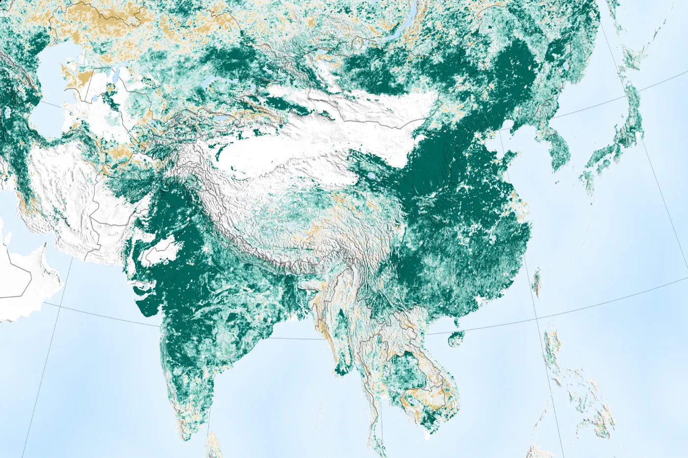
The project's leaders said the change was clearest when compared with photos from the 1990s. Satellites now show a much greener plateau, and the approach has been copied across China.
Cómo lo hicieron
- Built wide, level terraces so crops could leave the steep slopes
- Built key dams, warping dams and check dams in gullies to trap silt and store water
- Closed slopes to free grazing and raised animals in pens with cut fodder
- Planted trees, shrubs and grasses on slopes, with fruit and nut trees for income
- Small water tanks to catch runoff for villages and gardens
Qué cambió
- More than 2.5 million people in Shanxi, Shaanxi, Gansu and Inner Mongolia moved out of poverty.[1]
- Incomes in project households grew from about US$70 to about US$200 per person per year.[1]
- Perennial vegetation cover rose from 17 to 34 percent.[1]
- Sediment flowing into the Yellow River fell by more than 100 million tonnes a year.[1]
- The second project alone built 80,832 ha of terraces and 2,117 dams, and planted 109,000 ha of trees and 71,000 ha of shrubs.[2]
- Forest along the middle Yellow River grew by 44 percent after 2000, from 26,000 km² to 33,000 km².[4]
Quiénes lo hicieron
Farming families and village communities in four provinces and regions did the work, with county project offices, local bulldozer operators and the Yellow River Conservancy Commission. The Government of China funded it with World Bank loans and credits. Filmmaker John D. Liu recorded the change from 1995 in his films, including Green Gold.
Bueno saberlo
Researchers warn that revegetation on the plateau is nearing the limits of the water available, which could reduce water for people downstream.
Not all of the greening is from these two projects. China's national Grain for Green programme and other schemes have also planted large areas, and scientists say planting should match what each place can support.
The poverty and income figures come from the World Bank's own reporting.
Lo que podemos aprender
- Stopping free grazing can let land heal itself faster and cheaper than planting alone.
- Restoration lasts when it pays: terraces, orchards and penned animals gave farmers better incomes.
- Careful records of every plot helped funds reach the work on the ground.
Mira
Fuentes
- 1.Restoring China's Loess Plateau (archived copy; the live page now returns 404) · World Bank · Oficial
- 2.Implementation Completion Report: Second Loess Plateau Watershed Rehabilitation Project · World Bank · Informe
- 3.Loess Plateau Watershed Rehabilitation Project (P003540) · World Bank · Oficial
- 4.Reforestation in China: wooded areas at the Yellow River have increased by 44 percent · German Aerospace Center (DLR) · Satélite
- 5.Revegetation in China's Loess Plateau is approaching sustainable water resource limits (Feng et al. 2016, Nature Climate Change) · IDEAS/RePEc listing · Investigación
- 6.A New Regionalization Scheme for Effective Ecological Restoration on the Loess Plateau in China (Chen et al. 2017) · Remote Sensing (MDPI) · Investigación
- 7.China and India Lead the Way in Greening · NASA Earth Observatory · Satélite
- 8.Green Gold (film page) · Films for the Earth · Película
Más lugares que volvieron a la vida
Fazenda Bulcão, Aimorés, Minas Gerais, Brazil · 1998 hasta hoy
Instituto Terra
608 hectáreas de Mata Atlántica
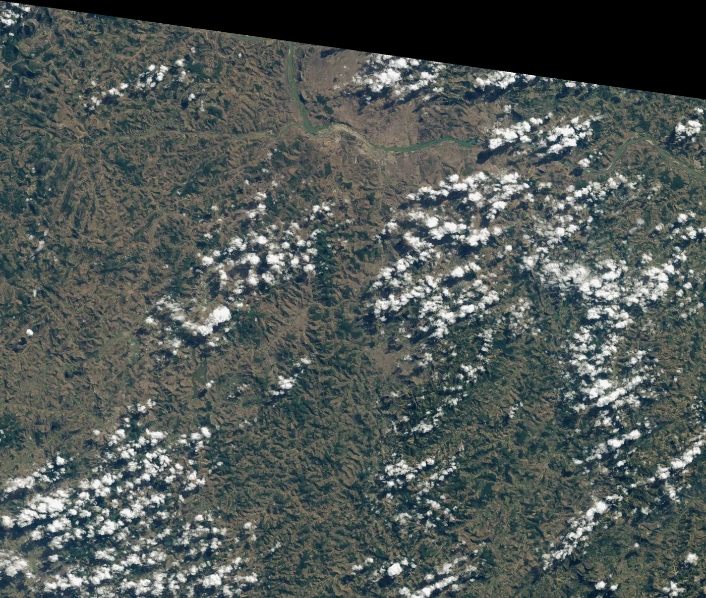
Cuando los Salgado volvieron a Aimorés en los años noventa, la finca familiar estaba pelada y erosionada. Lélia propuso volver a sembrar el bosque. Dos décadas después, las colinas tienen bosque, muchas especies han vuelto y los arroyos secos corren de nuevo.
Maradi and Zinder regions, southern Niger · 1983 hasta hoy
El reverdecer de Níger en manos campesinas
unos 5 millones de hectáreas
Tras las sequías de los años setenta y ochenta, las tierras de cultivo del sur de Níger estaban casi desnudas. Los agricultores empezaron a proteger los brotes de los tocones vivos en sus campos. Los árboles volvieron en millones de hectáreas, a muy bajo costo.
Tigray, northern Ethiopia · 1991 a 2020
Tigray
más de 1 millón de hectáreas
Tras la hambruna y la guerra de los años ochenta, las comunidades de Tigray pasaron unos 30 años haciendo terrazas en las colinas, construyendo diques de contención y cerrando al pastoreo la tierra agotada. El agua subterránea volvió, el riego pasó de unas 40 a casi 40.000 hectáreas y la región ganó en 2017 un premio de oro respaldado por la ONU. La guerra de 2020 a 2022 golpeó terriblemente a la gente y a este trabajo.