Fruto · Maradi and Zinder regions, southern Niger · 1983 hasta hoy
El reverdecer de Níger en manos campesinas
Agricultores del sur de Níger hicieron rebrotar árboles a partir de tocones vivos en unos 5 millones de hectáreas: se calcula que son 200 millones de árboles más.
unos 5 millones de hectáreas
Míralo cambiar desde el espacio
Google Earth Timelapse muestra cada año desde 1984. Dale play y mira cómo cambia la tierra.
La historia
The droughts of 1968 to 1973 hit Niger hard. Aerial photos from 1975 show farmland where most of the trees seen in the 1950s were gone. Many tree-planting projects in that period failed.
In 1983 Tony Rinaudo, an Australian agronomist with the mission SIM in Maradi, saw that what looked like shrubs in farmers' fields were shoots from living stumps and roots: an underground forest. They could be regrown for a fraction of the cost of nursery seedlings.
During the droughts of 1984 and 1985, farmers were offered food in return for protecting this natural regrowth on their fields. Farmers chose the most useful stumps, kept the tallest straight stems, pruned the rest and protected them. Neighbours saw the results and copied them.
A 1993 policy change moved ownership of trees on farms from the state to farmers, which helped the practice spread. By 2005 the sparse tree cover of the 1970s had been replaced by young, dense parkland, even as villages grew.
Researchers estimated about 5 million hectares were regreened by 2009, and about 7 million by 2017. Farmer-managed natural regeneration is now used in at least 25 countries.
Cómo lo hicieron
- Find living tree stumps and roots already in the fields
- Choose the most useful species for food, fodder, fuel and sale
- Keep the tallest, straightest stems on each stump and prune the rest
- Protect the regrowth from animals and cutting, and keep pruning
- Change the rules so farmers own and benefit from the trees on their land
Qué cambió
- Trees regrew across an estimated 5 million hectares of southern Niger.[1]
- About 200 million more trees, estimated at 40 trees per hectare across 5 million hectares.[1]
- An estimated extra 500,000 tonnes of cereals a year, reaching about 2.5 million people.[1]
- Comparing 2005 and 2013 imagery, tree density rose on nearly a quarter of sample plots and fell on less than 2 percent.[2]
- By 2017 the practice covered an estimated 7 million hectares.[2]
- Used in at least 25 countries, at roughly US$20 per hectare.[3]
Quiénes lo hicieron
Farming families across southern Niger, women and men, did this on their own fields. Tony Rinaudo (SIM, later World Vision Australia) helped start and spread it, and won the Right Livelihood Award in 2018. Chris Reij, Gray Tappan (USGS) and Melinda Smale documented it with aerial photos and satellite images.
Bueno saberlo
The 5 million hectare and 200 million tree figures are estimates. The tree count assumes 40 trees per hectare rather than counting trees.
The researchers note that no study had yet systematically measured the full impacts, and crop yield gains vary from place to place.
Lo que podemos aprender
- Look for the forest already under the ground before buying seedlings.
- When farmers own the trees on their land, they protect them.
- A cheap practice that farmers can copy from their neighbours can spread further than any project.
Mira
Fuentes
- 1.Agroenvironmental transformation in the Sahel: another kind of Green Revolution (Reij, Tappan and Smale 2009, IFPRI Discussion Paper 914) · IFPRI (copy hosted by OER Africa) · Investigación
- 2.Farmer-managed restoration of agroforestry parklands in Niger (Smale, Tappan and Reij 2018) · U.S. Geological Survey · Investigación
- 3.Tony Rinaudo, 2018 Right Livelihood laureate · Right Livelihood · Oficial
- 4.Landscape Restoration and Re-greening · USGS EROS Center · Oficial
- 5.FMNR Hub · World Vision Australia · Oficial
- 6.An Australian agronomist watched almost every seedling he planted in Niger die, until he noticed living stumps · ECOticias · Historia
Más lugares que volvieron a la vida
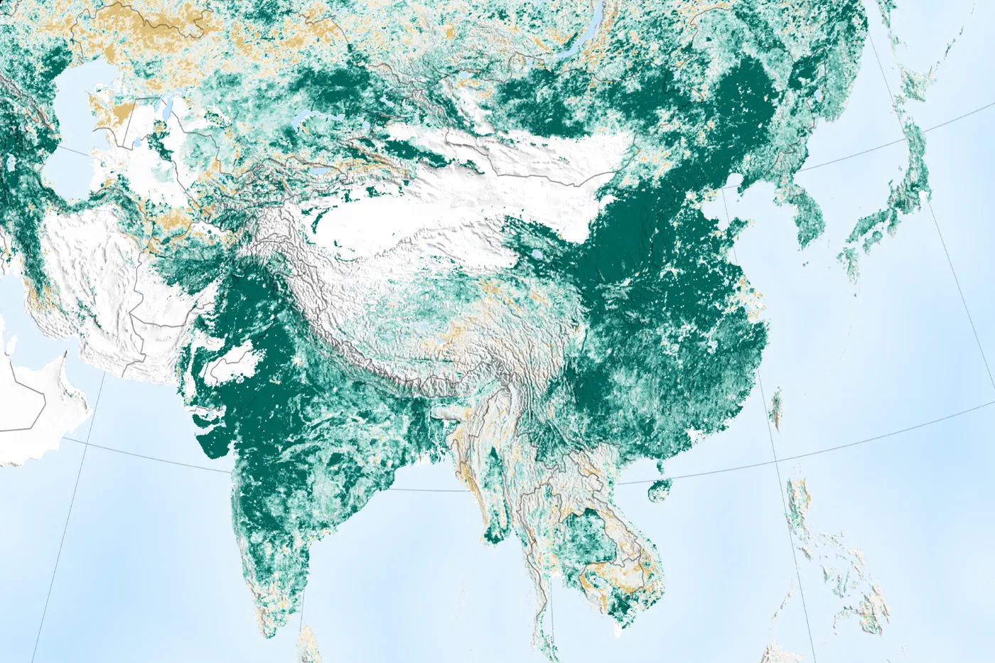
Shaanxi, Shanxi, Gansu and Inner Mongolia, China · 1994 a 2005 (y desde entonces)
Meseta de Loess
unos 35.000 km² en dos proyectos del Banco Mundial
La Meseta de Loess tenía una de las tasas de erosión más altas del mundo. Desde 1994, las familias campesinas construyeron terrazas y pequeñas represas, dejaron de pastorear libremente y volvieron a sembrar las laderas. La cobertura vegetal se duplicó, los ingresos se duplicaron y el río Amarillo arrastra mucho menos suelo.
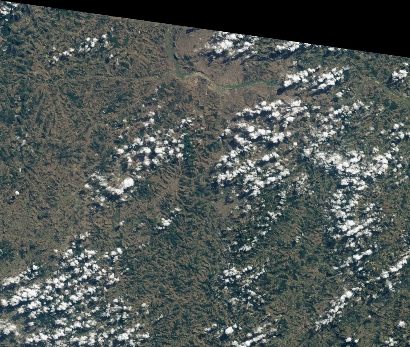
Fazenda Bulcão, Aimorés, Minas Gerais, Brazil · 1998 hasta hoy
Instituto Terra
608 hectáreas de Mata Atlántica
Cuando los Salgado volvieron a Aimorés en los años noventa, la finca familiar estaba pelada y erosionada. Lélia propuso volver a sembrar el bosque. Dos décadas después, las colinas tienen bosque, muchas especies han vuelto y los arroyos secos corren de nuevo.
Tigray, northern Ethiopia · 1991 a 2020
Tigray
más de 1 millón de hectáreas
Tras la hambruna y la guerra de los años ochenta, las comunidades de Tigray pasaron unos 30 años haciendo terrazas en las colinas, construyendo diques de contención y cerrando al pastoreo la tierra agotada. El agua subterránea volvió, el riego pasó de unas 40 a casi 40.000 hectáreas y la región ganó en 2017 un premio de oro respaldado por la ONU. La guerra de 2020 a 2022 golpeó terriblemente a la gente y a este trabajo.