Fruto · Mulloon Creek, near Bungendore, NSW, Australia · 2006 hasta hoy
Mulloon Creek
Empezando con 3 km de arroyo erosionado en 2006, los vecinos de Mulloon Creek están frenando y repartiendo el agua en una cuenca de 23.000 hectáreas.
una cuenca de 23.000 hectáreas
Míralo cambiar desde el espacio
Google Earth Timelapse muestra cada año desde 1984. Dale play y mira cómo cambia la tierra.
La historia
Mulloon Creek runs through farmland between Bungendore and Braidwood in the Southern Tablelands of New South Wales. The Mulloon Institute acknowledges the Yuin people as the Traditional Custodians of the land where its two properties are.
Like many Australian creeks after European farming, Mulloon Creek was badly eroded. In 2005 Tony Coote and his wife Toni invited Peter Andrews, founder of Natural Sequence Farming, to their farm. In 2006 works began on 3 km of the creek.
They built a series of living leaky weirs from rock and reeds, fenced out stock, and planted thousands of trees, shrubs, reeds and rushes. The aim was to slow the water, raise the creek level, spread floods and re-wet the floodplain.
The creek began to hold its flow in dry times, and neighbours joined. The Mulloon Rehydration Initiative now works with about 20 landholders across the catchment, with stream gauges, groundwater bores and satellite monitoring. In 2016 it was chosen as one of five model projects supported by the UN Sustainable Development Solutions Network.
Cómo lo hicieron
- Living leaky weirs of rock and reeds to slow the creek and raise its level
- Fencing to keep stock out of the creek
- Planting trees, shrubs, reeds and rushes along the banks
- Spreading floodwater back onto the floodplain
- Monitoring with stream gauges, groundwater bores and remote sensing
Qué cambió
- Works began on 3 km of Mulloon Creek in 2006; the creek now keeps flowing in dry times, the Institute reports.[1]
- The initiative aims to cover 23,000 ha of Mulloon Creek and its main tributaries, with stream works on 16 properties by 2022.[2]
- Tony Coote reported a 60 percent rise in grazing productivity on his floodplain paddocks, which he put down to a higher water table.[4]
- Groundwater bores show rises in wet periods and slower falls in dry periods, and dry-season pasture growth is up 20 to 40 percent in rehydrated zones.[3]
- A benefit to cost ratio of at least 3.6 to 1 over 10 years for landholders.[3]
Quiénes lo hicieron
Tony Coote AM (founder of the Mulloon Institute) and Toni Coote, Peter Andrews OAM, Peter Hazell, about 20 neighbouring landholders, the Southern Rivers Catchment Management Authority, Landcare groups, ANU researchers and First Nations knowledge holders. The Mulloon Institute acknowledges the Yuin people as the Traditional Custodians of the land where it works.
Bueno saberlo
Most results are reported by the Mulloon Institute, which runs and advocates for the work; the peer-reviewed paper so far describes the set-up and monitoring rather than final outcomes.
Peter Andrews' methods change watercourses and have been controversial, sometimes running into water law.
Lo que podemos aprender
- Slow the water first: a rehydrated creek can carry a farm through drought.
- One farm's demonstration can bring the neighbours in.
- Measure from the start, so others can trust the results.
Fuentes
- 1.Natural Sequence Farming pilot project · Mulloon Institute · Oficial
- 2.The Mulloon Rehydration Initiative: the project's establishment and monitoring framework (Peel et al. 2022) · Ecological Management and Restoration (ANU Research Portal) · Investigación
- 3.Australia: Mulloon Rehydration Initiative, investing in catchment-scale drought resilience · UNCCD Drought Toolbox · Informe
- 4.UN eyes on Mulloon Creek (2016) · Farm Online · Historia
- 5.Mulloon Creek tree planting (2022) · Mulloon Institute · Oficial
- 6.What we do · Mulloon Institute · Oficial
- 7.Mulloon · Wikipedia · Historia
Más lugares que volvieron a la vida
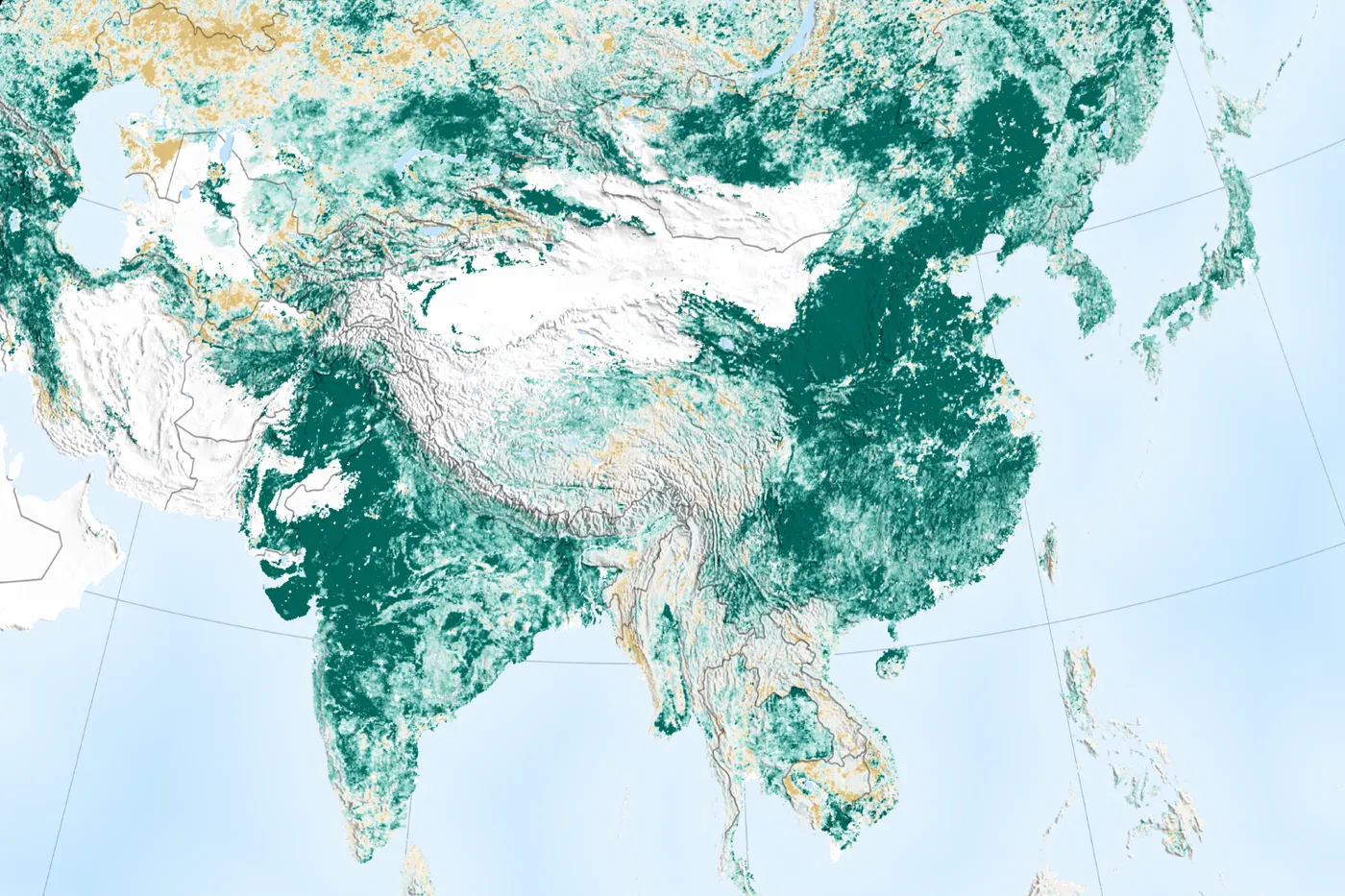
Shaanxi, Shanxi, Gansu and Inner Mongolia, China · 1994 a 2005 (y desde entonces)
Meseta de Loess
unos 35.000 km² en dos proyectos del Banco Mundial
La Meseta de Loess tenía una de las tasas de erosión más altas del mundo. Desde 1994, las familias campesinas construyeron terrazas y pequeñas represas, dejaron de pastorear libremente y volvieron a sembrar las laderas. La cobertura vegetal se duplicó, los ingresos se duplicaron y el río Amarillo arrastra mucho menos suelo.
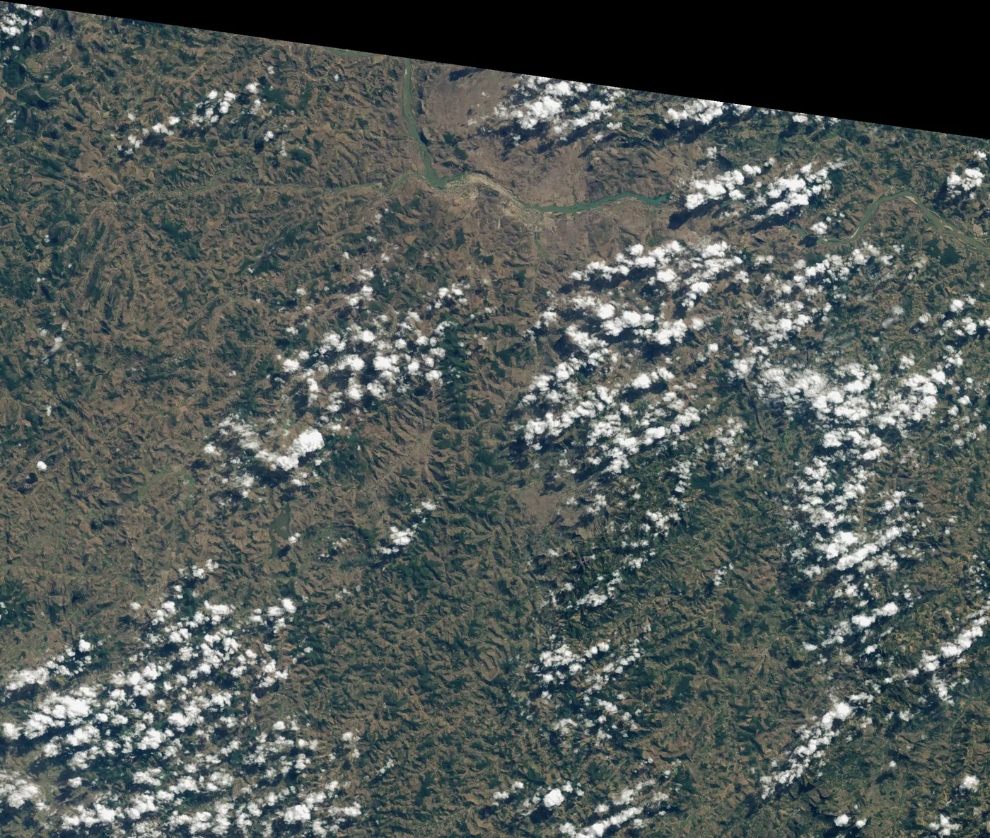
Fazenda Bulcão, Aimorés, Minas Gerais, Brazil · 1998 hasta hoy
Instituto Terra
608 hectáreas de Mata Atlántica
Cuando los Salgado volvieron a Aimorés en los años noventa, la finca familiar estaba pelada y erosionada. Lélia propuso volver a sembrar el bosque. Dos décadas después, las colinas tienen bosque, muchas especies han vuelto y los arroyos secos corren de nuevo.
Maradi and Zinder regions, southern Niger · 1983 hasta hoy
El reverdecer de Níger en manos campesinas
unos 5 millones de hectáreas
Tras las sequías de los años setenta y ochenta, las tierras de cultivo del sur de Níger estaban casi desnudas. Los agricultores empezaron a proteger los brotes de los tocones vivos en sus campos. Los árboles volvieron en millones de hectáreas, a muy bajo costo.